
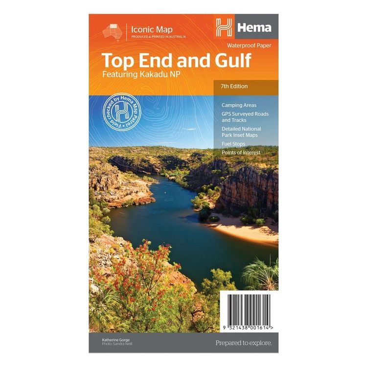
Hema Top End and Gulf Map Multicoloured
Quantity
-
Detail
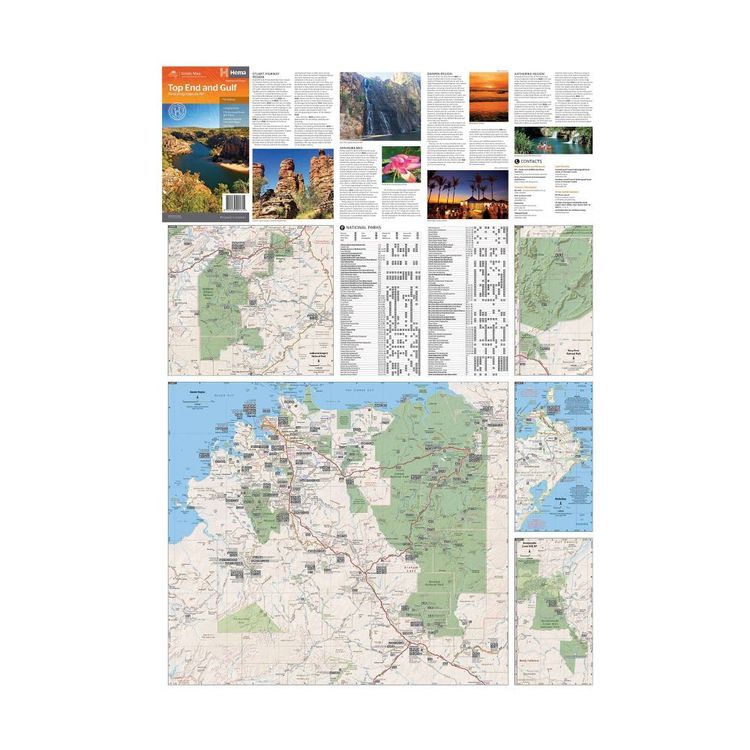
A regional waterproof map of the Top End and Gulf for discovering the region by 4WD. Combining with the main map are inset maps of the Darwin region, Gregory National Park, Nhulunbuy, Keep River National Park and Boodjamulla (Lawn Hill) National Park. There is additional tourist information for Arnhem Land, the Roper River trek, Darwin region, Douglas-Daly district, Nature's Way, Victoria Highway, Katherine Region and the Stuart Highway Region. Marked on the map are camping areas, GPS surveyed roads and tracks, fuel, and more information for 4WD tourers.
- Features
- Printed on waterproof and tearproof paper
Features information on major touring routes
Major tourist attractions and road distances marked
National parks marked including contact information and events
Camping areas and points of interest included throughout
GPS surveyed roads and tracks
- Primary Activity(s)
- Travel
4WD & Offroad
Caravanning
- EAN 9321438001614, 9781865008929
-
Customer ReviewsNo comments