
Hema North East New South Wales Map Multicoloured
Quantity
-
Detail
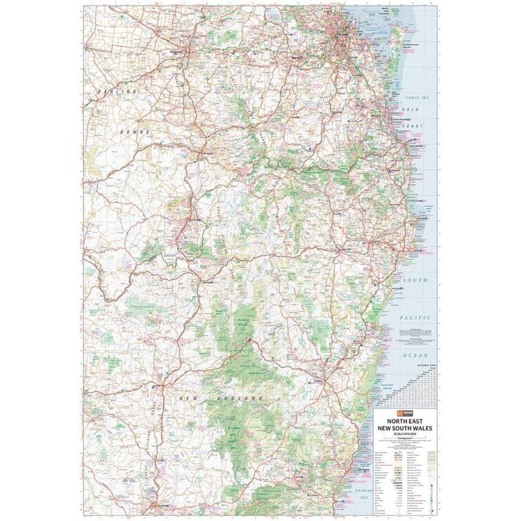
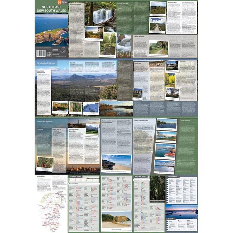
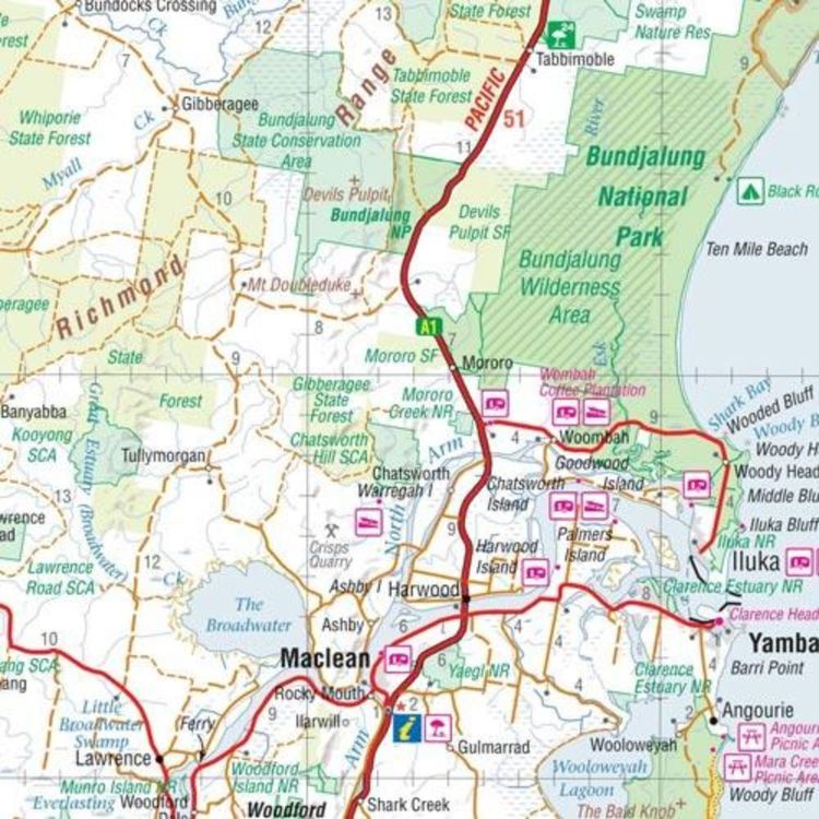
A regional map of North East New South Wales (1:375,000) that is the perfect companion for touring through North East New South Wales (NSW). The map features information on the major touring routes through the region including the Summerland Way, Bruxner Highway, Waterfall Way and Gwydir Highway, as well as major tourist attractions along both the Pacific Highway and the New England Highway. Also included are listed national parks within the region, contact information and events.
- Features
- Features information on major touring routes
Major tourist attractions and road distances marked
National parks marked including contact information and events
- Material
- Paper
- Dimensions
- 100 x 70 cm
- Packed Dimensions
- 25 x 14 cm
- Contents
- 1 folded map
- Primary Activity(s)
- Travel
Caravanning
- EAN 9321438001652
-
Customer ReviewsNo comments