
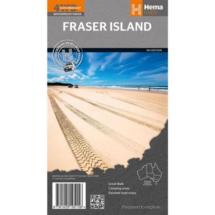
Hema Fraser Island Map Multicoloured
Quantity
-
Detail
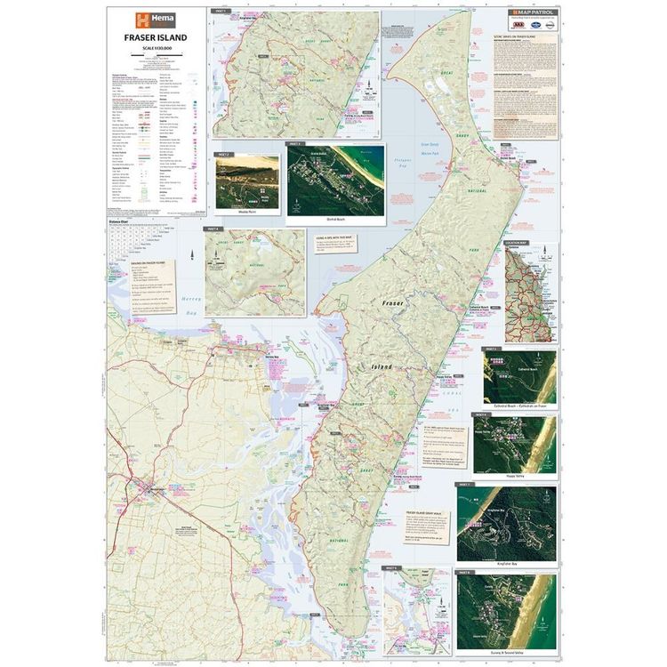
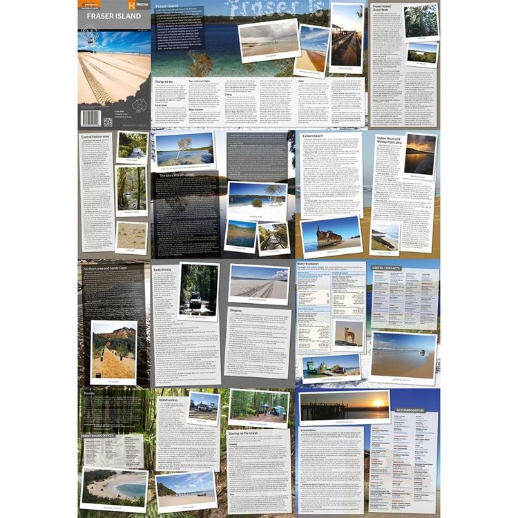
Fraser Island is one of the most diverse 4WD destinations in Australia, with beaches, rainforests, perched lakes, sand blows and more fitting into the world's largest sand island.
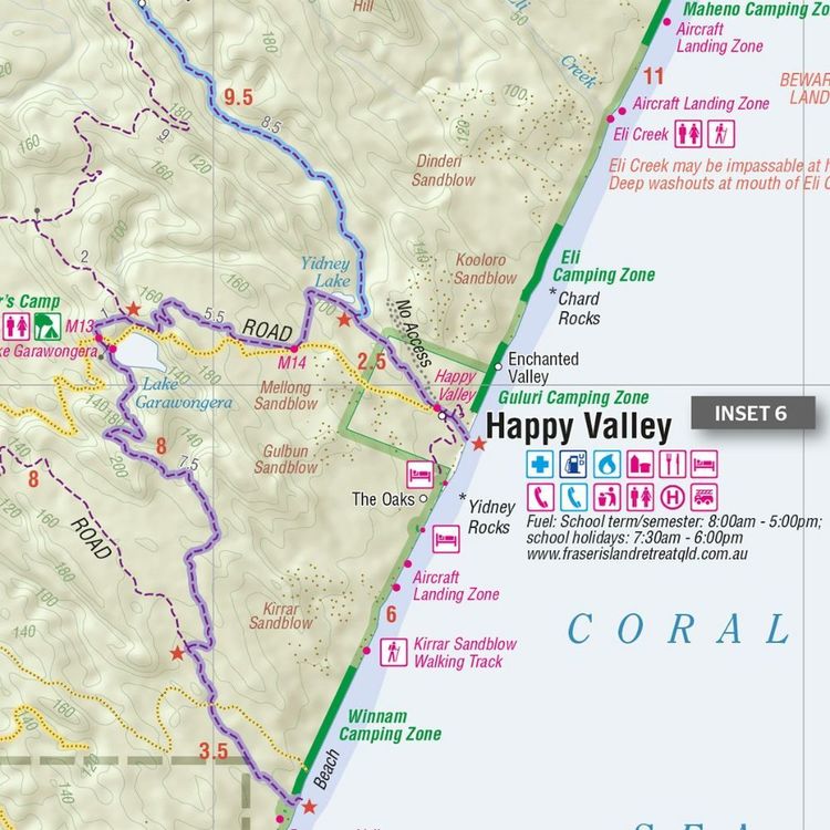
The mapping is highly detailed (1:130,000), with 4WD tracks field checked by the Hema Map Patrol, while hybrid satellite inset maps of Waddy Point, Orchid Beach, Cathedral Beach, Happy Valley, Kingfisher Bay, Eurong and Second Valley are also included.
On the reverse is a wealth of information for enjoying Fraser Island, including touring information on each distinct region, things to do, island access, permit information, accommodation, useful contacts and helpful insights for sand driving.- Features
- Printed on waterproof and tearproof paper
Major tourist attractions and road distances marked
Information on each distinct region including things to do, island access and permit information
National parks marked including contact information and events
Camping areas and points of interest included throughout
GPS surveyed roads and tracks
- Material
- Paper
- Author
- Hema Maps
- Dimensions
- 100 x 70 cm
- Packed Dimensions
- 25 x 14 cm
- Contents
- 1 folded map
- Primary Activity(s)
- Travel
Caravanning
- EAN 9781925195156, 9781922668783
-
Customer ReviewsNo comments