
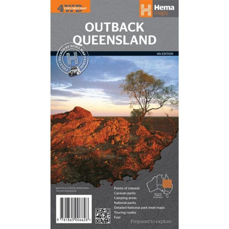
Hema Outback Queensland Map Multicoloured
Quantity
-
Detail
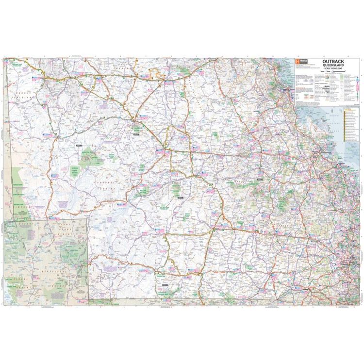
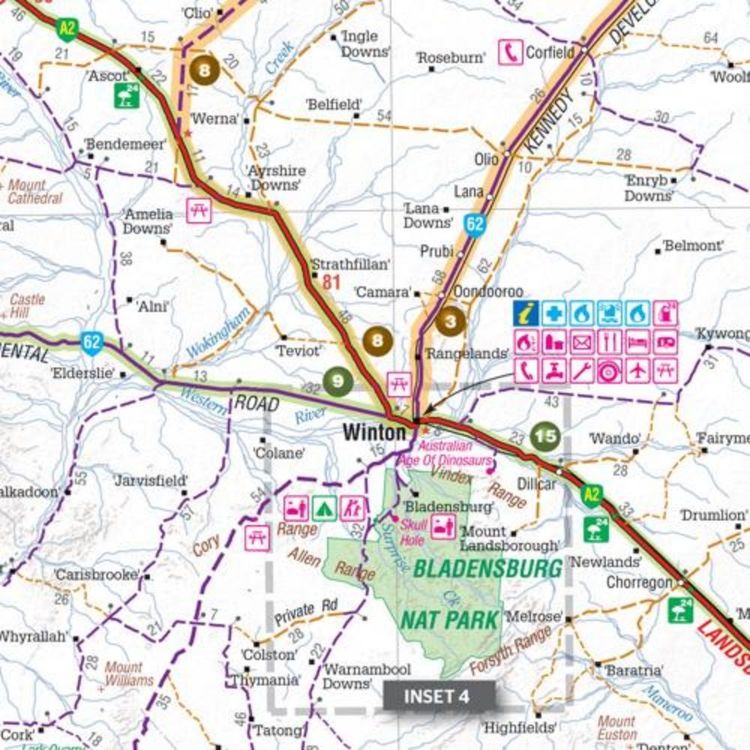
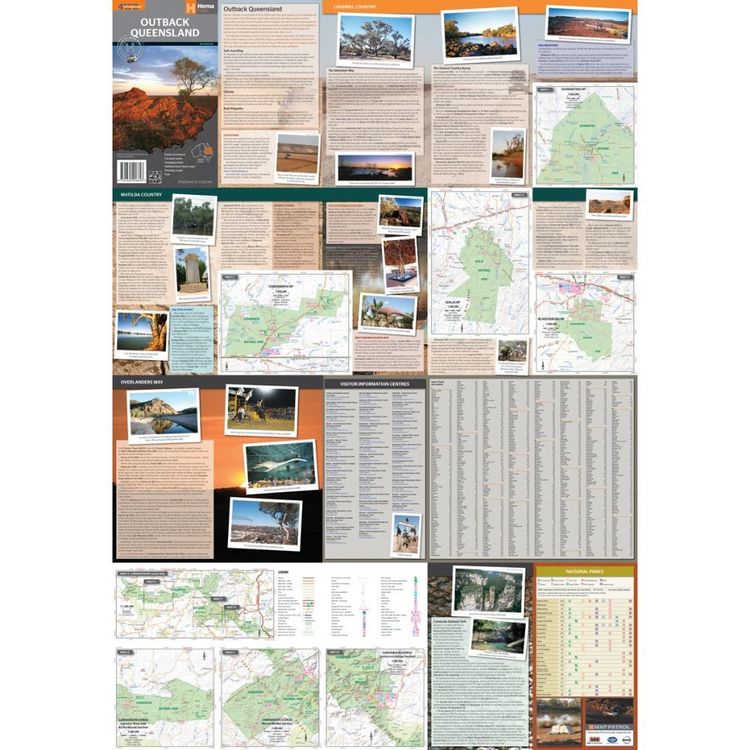
Fully updated, Outback Queensland (QLD) contains mapping and visitor information for one of the most iconic regions in Australia. Mapping at a scale of 1:1,500,000 covers from the inland borders to Toowoomba in the east and Charters Towers in the north, with hill shading and elevation tinting creating a more realistic interpretation of the landscape within the region. Marked on the map are points of interest, camping areas and caravan parks as well as fuel and touring routes. Accompanying the mapping is extensive visitor information for the Channel Country, Matilda Country and the Overlanders Way, with a town and locality index in addition to necessary contact details covering the majority of information for touring the region. Also included are maps of Bladensburg, Idalia, Currawinya, Diamantina and Carnarvon Gorge national parks.
- Features
- Features information on major touring routes
Major tourist attractions and road distances marked
National parks marked including contact information and events
Camping areas and points of interest included throughout
- Material
- Paper
- Dimensions
- 100 x 70 cm
- Packed Dimensions
- 25 x 14 cm
- Contents
- 1 folded map
- Primary Activity(s)
- Travel
Caravanning
- EAN 9781922668769, 9781865006628, 9321438001645
-
Customer ReviewsNo comments